
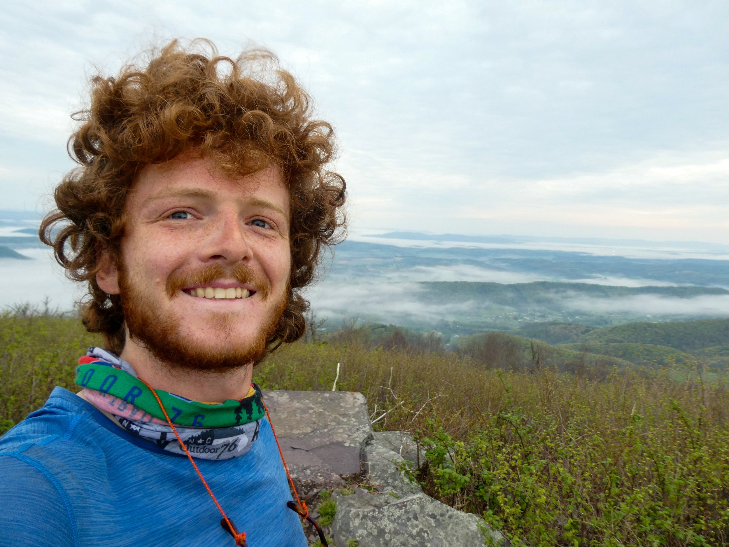
Hikers Log - trail date: day 53
(Rice Field Shelter (mile 644.2) - Tentsite (mile 665.8))

I woke up around 7:30am and climbed out of my tent to discover a beautiful view from Rice Field. The field overlooked a valley filled with low-hanging clouds. The clouds creeped slowly through the valley, with small mountains and ridges rising through like rocks in a stream. Last night I had noticed lights from a distant town in the valley, but I hadn’t expected a view this good. After breaking down my tent, I sat for a while admiring the view. Unfortunately, I was out of water, so I needed to get moving if I wanted to eat breakfast.
I started hiking at 8:20am. I didn’t really have a goal in mind as far as a destination. I was chafing pretty bad yesterday, so I hoped that wouldn’t be a problem today. Chafing could really put a damper on my mileage. My biggest consideration was getting to Daleville in five days, where I’m planning to nearo. There’s also the Four Pines hostel between here and there, so I could potentially stop in there if I need a supplemental resupply or if I’m just in desperate need of a resupply. Otherwise, there are some big landmarks before Daleville, including the Dragon’s Tooth and McAfee Knob, so I have a lot to look forward to.

About a mile past the shelter, I stopped under some power lines, sat on a rock, and called Anna Claire. We chatted for a while and then I continued on to the first water source about a half mile later. I ate breakfast at the spring and filled up 2 liters of water for a 10.5 mile carry. The first 4 miles should have made for easy morning hiking along the ridge. Unfortunately, the ridge must have recently suffered a blow down and I was forced to constantly bushwhack to avoid trees and limbs strewn across the trail. It felt like I was spending more time off the trail than on the trail as I serpentined along the ridge. Eventually, I reached a short series of meadows. The trees were in full bloom and I was treated to excellent views to the north. At this point, I realized that I had spent the morning hiking along the Virginia/West Virginia border. To my right, towards the south, was Virginia. To my left, towards the north, was West Virginia.


Views of West Virginia to the north
The day was quickly revealing itself as another scorcher. About 2 miles beyond the fields, I was surprised to find a nice seeping spring just off the trail. I was about 6 miles into what I had expected to be a 10.5 mile carry, so this was a welcome surprise. I stopped at the spring and discovered, to my delight, a gaggle of stream salamanders.

I don’t think I realized this at the time, but there are at least two salamanders in this picture
After 1.5 miles of steep climbing, I came over the ridge and was nearly attacked by a groundhog😅 I don’t really know how else to explain it. I was hiking along, minding my own damn business, when I heard rustling, looked up, and noticed a brown furry creature ahead and to the right of the trail. At first, I thought it was a squirrel. But no, it was too big to be a squirrel. Was it a beaver? That didn’t make any sense. Sure enough, it was a groundhog. It stared at me and I stared back. The rodent wasted no time and charged down the trail. It was wild. For one thing, I’ve never seen a groundhog this big in my life. Further more, I’ve never seen a groundhog move this quickly. It ran right at me. As I fumbled around, trying to get my camera out, the groundhog darted past, inches from my feet, ran up the hill and disappeared into a group of rocks. I stood there, maybe a little in shock, but mostly just confused. Definitely not a wildlife encounter I was expecting.
I hiked on, past a trail junction with the Allegheny Trail, and then continued 2.5 miles downhill to Pine Swamp Branch Shelter for a late lunch. While I ate, I began chatting with a mother and son pair of hikers I had briefly encountered at the Econolodge in Marion. They introduced themselves as “Snake Whisperer” (mother) and "Numbers" (son). Numbers is a triple crowner who has hiked the PCT twice, the Arizona Trail, and probably other trails he didn’t even mention. Numbers and Snake Whisperer were doing a section of the AT together. We talked for a while about gear and food. Honestly, I was taken aback by how humble and down-to-earth Numbers was. Although he is by far the more experienced hiker, he was super interested in my food strategy and stoveless set up. It was a cool interaction.
I left Pine Swamp Branch at about 3:30pm. Bailey Gap Shelter was in about 3.9 miles, but I definitely wanted to get further than that. The next shelter after Bailey Gap was in about 12.7 miles, which would make today a ~23 mile day. I wasn’t really feeling like another late arrival in camp, so I figured I’d maybe aim for a marked campsite on the ridge between the two shelters. Otherwise, I might grab a nice stealth site if one presented itself. I’m a little doubtful about stealth camping options though. The ridges have been densely populated with widow-makers and fallen trees, and the wind was pretty crazy last night. I guess we’ll see what happens.
After 2.4 miles, I made it to a bridge over Big Stony Creek and was struck by a sudden, all-consuming need to dig a cathole. The next 1.5 miles included some really steep uphill and light rain. I passed Bailey Gap Shelter and continued to the top of the ridge where I was hoping to camp. I stopped briefly at the first water source along the ridge, which was barely more than a trickle, bubbling from a bank along the right side of the trail. As I was filling my bottles, I met "Overdose," a thru-hiker who is finishing his triple crown. Overdose complained that his pace had been really slow all day. At this point, it was about 6pm, and I had 3 more miles to go until the marked campsite. Overdose had 7 more miles to the next shelter. I offered that we could hike together and maybe motivate each other to move a bit faster.
As Overdose and I continued along the ridge, he explained that he is married and lives in Reno, Nevada, although he’s originally from Orlando, Florida. He previously hiked the PCT and CDT, and is now hiking the AT mostly out of a sense of obligation to finish the triple crown. From what I could tell, he didn’t seem too fond of the AT, so I switched topics and we chatted about amphibian chytrid fungus for a bit. We encountered John and Kayla near a short spur trail to the Wind Rock overlook. They were calling for Aurora, who had apparently decided to run off into the woods. Kayla explained that Aurora does this sometimes, possibly as a rebellion when she’s tired and doesn’t feel like hiking any more. We offered to help, but they insisted that they could handle it, so we wished them luck and continued on.
We made it to my campsite around 7pm. I said farewell to Overdose, knowing I’d probably never see him again. The rain held out long enough for me to set up my tent, eat dinner, and soak my feet. As I was about to turn in for the evening, John and Kayla arrived, and I was relieved to see Aurora in tow.
