Hikers Log - trail date: day 54
(Tentsite (mile 665.8) - Niday Shelter (mile 687.8))
I got hiking this morning at about 8:50am. I skipped breakfast in camp but motivated myself to get moving with a Honey Bun. I’m not sure where I’ll end up today. My stretch goal is a shelter in 22 miles, but there are a lot of ups and downs today. Steeps ones too. So we’ll see what happens. I’ve had a lot of long days lately.
I inventoried food last night, and I think I’ll have enough food to make it to Daleville, but I’ll need to reassess tonight to be sure. Tomorrow, I’ll have the chance to stop at the Catawba Grocery for a glorified gas station resupply. If I do 22 miles today, and another 20+ day tomorrow, then I should have a manageable hike into Daleville on the following day. With that plan in mind, I think the only resupply items I might want would be a few extra bars, but I wasn’t sure. I suppose these are the dilemmas of a thru-hiker.
I made it almost 4 miles to War Spur Shelter for breakfast. The shelter was really nice and I couldn’t help thinking it would be a lovely spot for a trail zero. I sat on a bench in a scenic clearing while eating my breakfast. Afterwards, I used the privy and found shelter log entries from Katie and Jasmine. I stopped at the creek just beyond the shelter to wash my face and fill my water bottles. As I was kneeling over the water, I was thrilled to spot a small crawfish just below the surface. Part of me wanted to stop and look for salamanders, but it was already 11:30am, and I had many more miles to cover.


Over the next 2.5 miles, the trail climbed nearly 1800 feet. It was an intense climb and I released a rather barbaric victory yawp when I finally summited the ridge.


My barbaric victory yawp
At the southern end of the ridge, I took a short side trail to Kelly Knob, an imposing set of cliffs with excellent views to the south. To get to the best views, I had to hop over some spooky crevasses, which was well worth it.


After another mile, I stopped for lunch at Laurel Creek Shelter. Another 2 miles brought me to a series of rolling pastures. The sun blended with steady wind to make for lovely hiking. As I walked, I watched butterflies visiting yellow wildflowers which populated the fields and danced in the wind.


I caught up to John, Kayla, and Aurora at a road crossing with VA Route 42. We started hiking together and John and Kayla explained that they had section hiked this portion of trail before. They called it the “Triple Crown.” I had never heard of the AT Triple Crown, and they explained that it referred to the series of iconic landmarks within this section of trail, including the Dragon’s Tooth, McAfee Knob, and Tinker Cliffs. I knew about the Dragon’s Tooth and McAfee Knob (famous for being the most photographed spot on the AT), but this was my first time hearing about Tinker Cliffs, so I was excited to discover what they had in store.
We soon stumbled on the majestic Keffer Oak, the largest oak tree along the southern AT. This incredible arboreal behemoth is estimated to be 300 years old. It was quite a site to behold and I made sure to let the tree know that it was “a good tree.” I think trees appreciate being appreciated.

Immediately following the Keffer Oak was our last big climb of the day. We made our way under two sets of powerlines and up to the ridge of Sinking Creek Mountain. Along the ridge, we hiked beside the mysterious Bruisers Knob cairns, which were supposedly constructed by early farmers to mark property boundaries. John suggested aliens as a more likely explanation. I’d say Occam’s razor cuts this one like butter. It was clearly aliens😂
The next three miles got pretty technical as we hiked along a rocky knifes-edge ridge requiring lots of rock scrambling. I was impressed with how well Aurora handled herself on the tough terrain, but even she had to be encouraged over some of the bigger rocks. As we moved along the ridge, we were treated to excellent views to the southeast.


At mile 685.2, we encountered a sign marking the Eastern Continental Divide. I consulted Guthook to learn what this meant. Apparently, all waters on the west side of Sinking Creek Mountain flow into the Mississippi River and on out to the Gulf of Mexico, while all waters on the east side flow into the James River and on out to the Atlantic Ocean. Pretty neat.
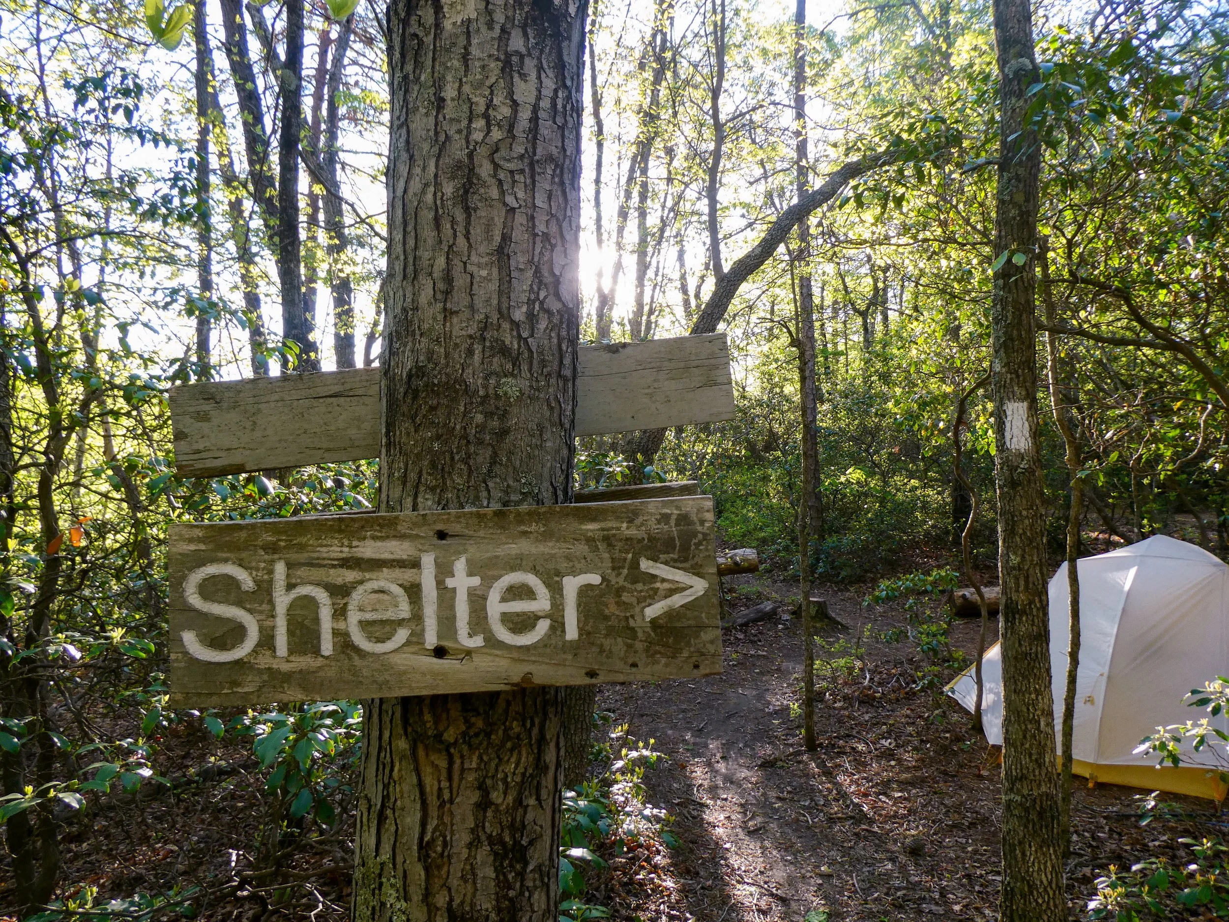
After a steady 3 mile descent, we reached Niday Shelter. I set up my tent and then broke a large tree branch trying to hang a bear bag. It was pretty stupid on my part. I got my line stuck and ended up ripping a sizeable branch out of the tree trying to recover it. The branch had been alive, so I felt really bad and apologized profusely to the tree. My line was recovered, but it hadn’t been worth hurting the tree.
SCHMOO - an acronym: smile, crouch, and heave a mighty organic object